Sustainable Water through Integrated Modeling
ALERT! SWIM 1.0 is migrating to SWIM 2.0 which is now available here: http://purl.org/swim
SWIM: Sustainable Water through Integrated Modeling (PI). NSF Award# OAC-1835897.
The goal of the SWIM project is to advance water sustainability research capabilities
through the integration, execution and interpretation of water models and participatory reasoning processes.
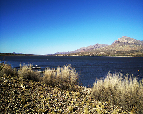
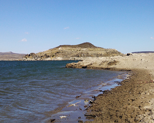
Using the meaning of data and models, SWIM facilitates interpretations of water availability in the US Southwest and North of Mexico.
SWIM enables stakeholder-driven analysis of water systems from the socio-environmental perspective.
Scientific models of complex water resource systems help us understand and experiment
with the behavior of those systems. Most scientific modeling today requires the use
of software that can be hard to understand, expensive to build and maintain,
and present little online access.
Many of these challenges can be tackled through the use of software that bridges
the capabilities of water resource system modeling and the needs of
water resource stakeholders.
The Bucket Model
The “Bucket Model” is a simple coarse-scale basin model that simulates all major water sources, sinks, uses, and losses as well as economic values of water as well as institutional constraints governing water supply and use for the Middle Rio Grande between the inflow to Elephant Butte Reservoir and Fort Quitman on the Rio Grande. This model is designed to be a useful tool for improving our understanding of the hydrology, agronomy, institutions, and economics to guide analysis of policy and management questions that are important to stakeholders.
The current version of the model is a simple “three bucket” model that reflects water storage, inflow, and outflow for project storage and for the region’s two major aquifers, the Mesilla and Hueco. The three water users include irrigated agriculture, urban demands, and environmental / recreational demands for water volumes in surface storage. For aquifers, the major uses are agriculture and urban use. Existing as well as potential water use is predicted as a constrained optimization model that identifies water use and flow patterns that maximize discounted net present value of water by adjusting water use patterns in the river-reservoir-aquifer system for the model’s 20 year time horizon.
Required inputs include hydrologic data such as surface inflows to storage, crop water requirements by crop, surface treaty delivery requirements from the U.S. to Mexico, evaporation rates from surface reservoir storage, and both reservoir and aquifer storage capacity. Input data include crop yields, costs of production, costs of pumping, crop price, price elasticity of demand, and urban population.
Model outputs include total farm income, recreation economic benefits, total urban net benefits, reservoir releases, surface storage volume, groundwater pumping and recharge, 1906 Treaty deliveries by the U.S. to Mexico, reservoir surface evaporation, total water use, and the discounted net present value of total economic benefits and its distribution among major water users.
Ward et. al., 2019
The economics of aquifer protection plans under climate water stress: New insights from hydroeconomic modeling.
Journal of Hydrology, Volume 576, September 2019, Pages 667-684